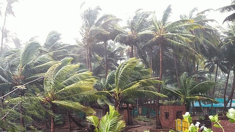

Chennai is set to witness heavy to very heavy rainfall as the Cyclone Nivar is expected to make its impact on Wednesday. The Cyclone Nivar is moving towards the north Tamil Nadu coast and south Andhra Pradesh.
ALL ABOUT CYCLONE NIVAR
Named Cyclone Nivar by Iran, it is moving at a good speed. The low pressure is quickly turning into a depression, in 12 hours instead of the 24 hours forecast earlier.
According to the India Meteorological Department (IMD), speed of winds could reach 100 kmph during the landfall. "Cyclone Nivar may cause heavy to extremely heavy rains at isolated places in Rayalaseema and south coastal AP districts on Wednesday and Thursday," IMD's Andhra Pradesh Director S Stella was quoted as saying by News 18.
It is very likely to move northwestwards and cross Tamil Nadu and Puducherry coasts around November 25.
WARNINGS AHEAD
· The weather department has requested fishermen not to venture into the sea.
· The disaster management along with police, forest officials, health services and others have been put on high alert.
· The Agriculture Department on Sunday issued an advisory for coconut growers in the region. Matured coconuts and those about to mature must be harvested before cyclone makes landfall. The heavy branches in the lower spiral have to be cut and removed.
· Soil should be heaped around the trunk for giving additional stability for the trees.
As soon as the news about this cyclone has made buzz, social media users have started using #CycloneNivar to spread the information.
